Donnybrook 3064 · City of Whittlesea
A new community taking shape in English Street.
An approved, gazetted precinct at Donnybrook with new homes, a local town centre, school sites and parklands planned across roughly 143 hectares, approximately 29.75 km north of Melbourne.
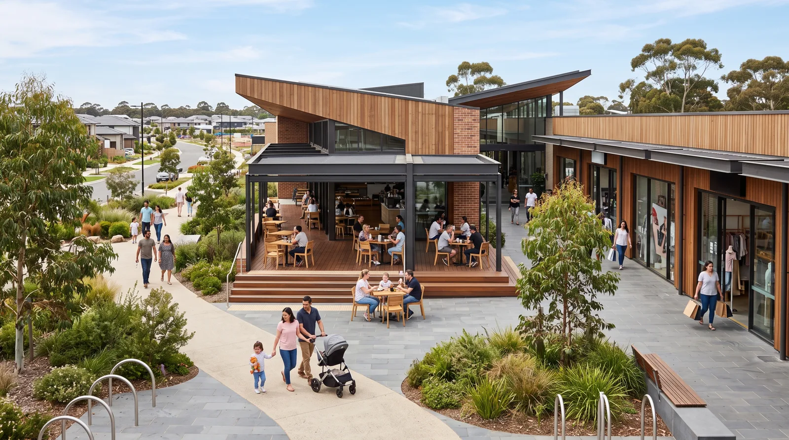
Artist's impression — indicative only.
~143 ha
Precinct area
9.2%
EstimatedEst. annual growth
Gazetted
Amendment C183, February 2016
PSP 25.2
City of Whittlesea
Explore the precinct
Everything you need to understand this community, in one place.
Independent, free research on the approved plan, the land coming to market, transport, schools and the local market.
Location
Where the precinct sits at Donnybrook, approximately 29.75 km north of the Melbourne CBD.
Development
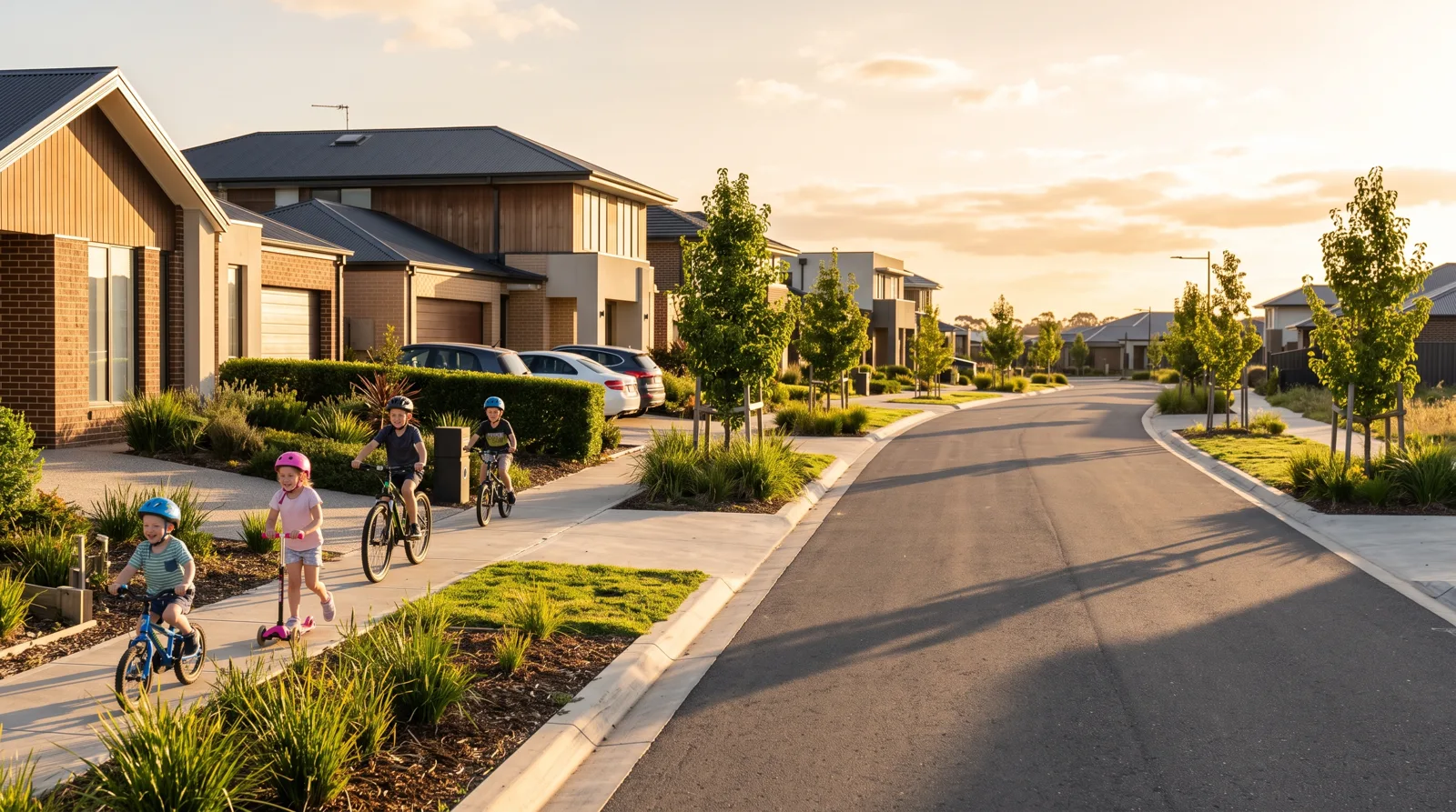
New release land, house and land, townhomes and larger lots taking shape here.
Future Plans
What the gazetted precinct structure plan sets aside for the community.
Transport
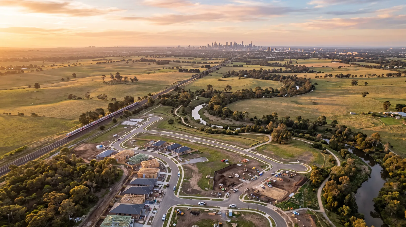
Rail on the eastern boundary, the Hume Freeway to the west and road upgrades.
Lifestyle
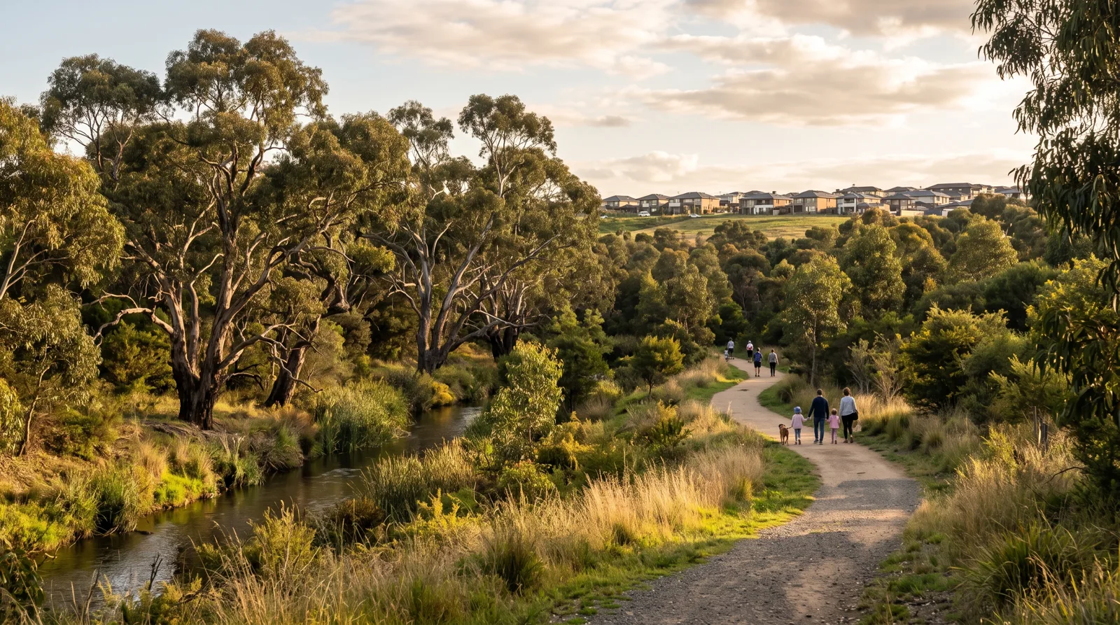
Creek corridor open space, parks, local retail and a town centre to come.
Schools
Future school sites reserved in the precinct plus existing schools nearby.
Market
ABS Census 2021 demographics for Donnybrook plus modelled growth and yield.
Why Here
How the precinct stacks up for first home buyers, investors and families.
The approved plan
An approved growth precinct, already building.
An approved, gazetted precinct at Donnybrook in Melbourne's north, with homes now building around the English Street arterial between Donnybrook Road and the Merri Creek corridor.
The precinct structure plan sets the framework for streets, open space, school sites and a local town centre. Delivery happens stage by stage as developers bring land to market and civil works are completed, so the community will keep changing over the years ahead.
At a glance
- Local government area
- City of Whittlesea
- Precinct structure plan
- English Street (PSP 25.2)
- Precinct area
- approx 143 ha
- Suburb
- Donnybrook 3064
- Distance to Melbourne CBD
- approx 29.75 km
- Median age (ABS 2021)
- 30 years
- Status
- Gazetted
Dwelling capacity and future resident figures were not restated by the Victorian Planning Authority for this precinct, so they are not shown here. Demographics are ABS Census 2021 for the suburb of Donnybrook (CC BY 4.0).